Precision agriculture and water mapping for smarter farming and development.
Book a ConsultationVerdisol Agro Pvt Ltd we are redefining farming through innovation, science, and precision. We are a premier agricultural consultancy empowering farmers, investors, and communities with drone-based agricultural intelligence and data-driven land management solutions that unlock the full potential of every hectare.
Our work begins where traditional farming ends — at the intersection of technology and sustainability. Using advanced drone systems, we conduct scientific land-use planning and underground water surveys, removing uncertainty and replacing it with precision. Every solution we provide is designed to enhance productivity, improve efficiency, and promote long-term land health.
But VerdiSol Agro goes beyond consulting. We are shaping the future of agriculture through
We transform your farm into a blueprint for success.
Using drone mapping, soil analysis, and spatial planning,
our team develops comprehensive land-use plans that maximize every hectare’s potential.
From field layout and irrigation design to crop zoning and infrastructure placement,
every decision is guided by science — ensuring higher yields, lower waste, and sustainable land stewardship.
Eliminate the guesswork and find water with precision. Our drone-powered geophysical surveys use advanced sensors to detect underground water sources and aquifer patterns before drilling begins. This technology minimizes costly trial-and-error drilling, providing reliable data that ensures your investment in boreholes and irrigation systems is well-informed and efficient.
We believe that agriculture should grow communities, not just crops. VerdiSol Agro partners with local authorities, NGOs, and investors to design and implement sustainable rural development models. From agricultural zoning and resource mapping to infrastructure planning and training, we help build thriving, self-sustaining rural ecosystems powered by smart technology and community engagement.
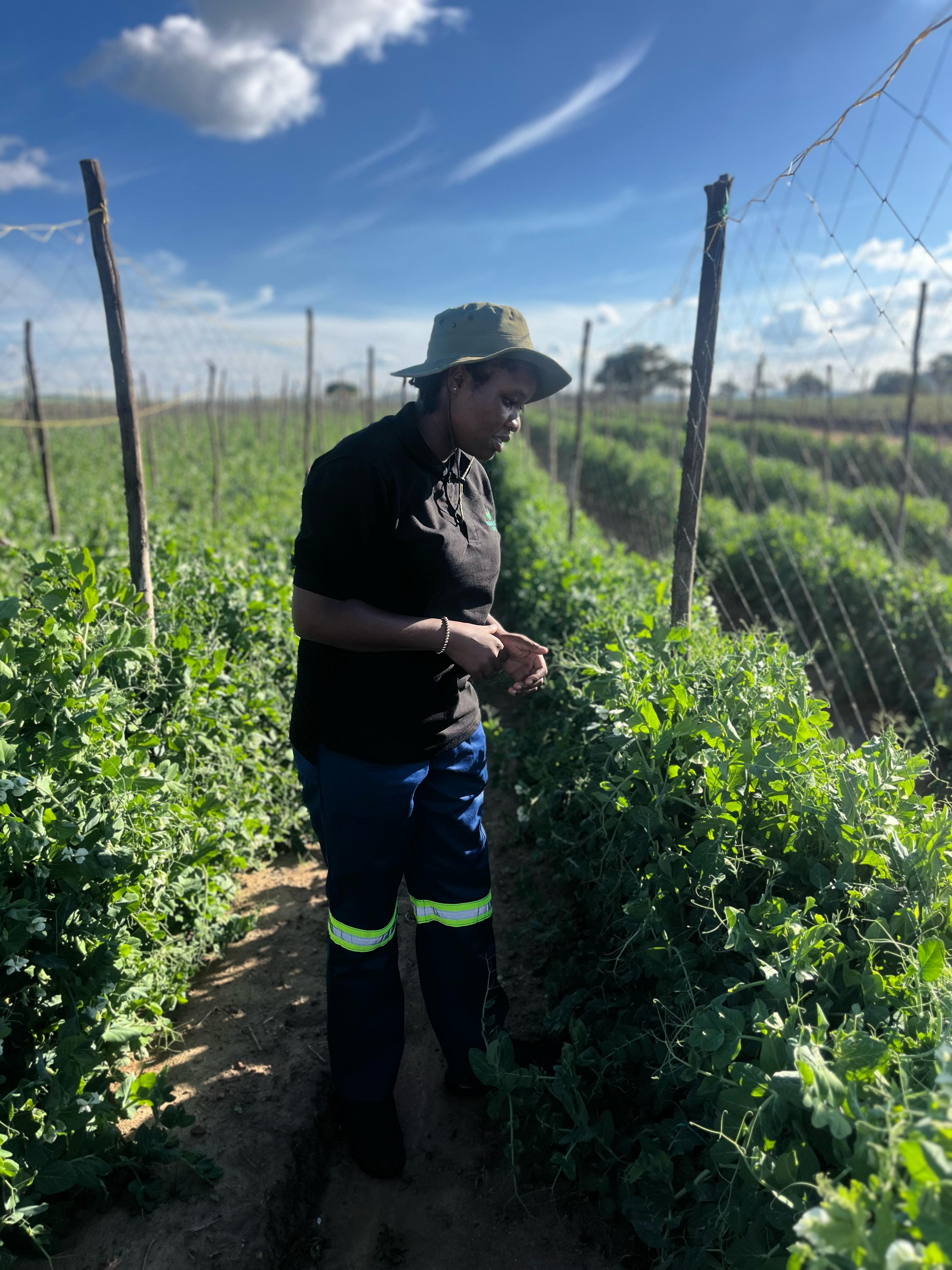
Empowering farmers is at the heart of what we do.
Our training programs blend practical fieldwork with cutting-edge knowledge in
climate-smart agriculture, precision farming, and agribusiness management.
Through workshops, demonstrations, and digital learning, we help farmers
transition from traditional practices to modern, data-informed farming that improves
productivity and resilience.
We connect you with the people who grow success.
VerdiSol Agro provides end-to-end farm staffing and management solutions,
sourcing and training skilled personnel to meet your operational needs.
Whether you require farm managers, agronomists, or seasonal laborers, we ensure
every team member is equipped with the technical expertise and discipline to deliver results.
Experience the beauty and innovation of agriculture.
Our agro-tourism initiatives showcase farms as hubs of learning, leisure, and inspiration.
Visitors can engage in farm tours, agricultural demonstrations, and
eco-friendly experiences that highlight Zimbabwe’s natural richness and modern agricultural excellence.
We help farms create unforgettable destinations that connect people to the land — and to the future of farming.
At VerdiSol Agro, we’re not just providing services — we’re building smarter farms, empowered farmers, and sustainable rural futures. VerdiSol Agro — Redefining Farming. Empowering Growth. Inspiring Change.
We’re redefining how data transforms agriculture — with reliable results and practical solutions farmers can trust.
“Their drone survey helped us locate a clean water source faster than any traditional method — saved us weeks.”
— A satisfied client, Masvingo Region
✅ Message sent successfully!
😕 We couldn’t find what you’re looking for.
Please contact us and we’ll get back to you.
Our drones use sensors that detect variations in soil and subsurface conductivity, helping locate aquifers precisely.
Yes, Verdisol operates regionally across Southern Africa, adapting technology to local terrains and climate zones.
Absolutely. We design scalable packages that fit budgets from individual farms to large cooperatives.
Our drone-based water survey delivers an accuracy rate of up to 80%. We provide multiple detection points across your land rather than relying on a single reading, ensuring higher precision. The survey covers the entire property, analyzing geological structures, rock formations, and underground fractures to pinpoint potential water-bearing zones.
By combining aerial mapping, geophysical sensors, and advanced data analysis, we identify the most promising borehole sites with minimal environmental disturbance. This approach helps reduce drilling costs and increase the likelihood of successful water discovery.
Yes, we do. Each survey includes a comprehensive report featuring a stream analysis map and a water table map. These maps can also be used for farm land-use planning and development. Your full report is delivered within 48 hours from the date of the survey.